A web application for indoor map digitization and indoor positioning (2020-2021)
Keywords: Assistive technology, user interface design, user experience design, system design
Client: © Indian Institute of Technology Delhi
Funded by: World Health Organization South East Asia Regional Office
Role: Design lead (consultant)
Co-designed with: Assitech Lab, School of it & Department of Design, iitd
Publications: Upadhyay, V., Arun Kumar, P., Singh, P., Ayush, Sharma, S., Paldas, S., Rao, P. V. M., Balakrishnan, M. (2021). Retrofit Framework for Indoor Mobility in Unstructured Spaces. Workshop Paper in CHI 2021, Yokohama, Japan. https://cdn.disabilityinnovation.com/documents/CHI-Workshop_submission_10.pdf?mtime=20210325101720&focal=none
Persons with visual impairment frequently face difficulties in access to information while navigating through built environments. This problem is exacerbated by unstructured and poorly documented environments in the global south. While some of the challenges of outdoor navigation have been overcome through smartphone applications over the past 10 years, indoor navigation continues to be a pressing challenge for the growing population of persons with visual impairment.
The Inclunav project focuses on improving access to information for navigating through indoor environments. While the project identifies people with visual impairments as a critical audience, the products have been designed for universal access. The project consists of two digital applications; Inclunav Maps and Inclunav Routes.
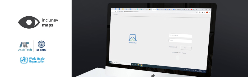
Inclunav Maps is a web application designed to collect information from indoor spaces relevant to navigation purposes, and provide them in a usable format on smartphones for navigation access. The product uses building floorplans and specific navigation cues as input, and produces a digital map with information cues for indoor localization and navigation. Particular focus in the development process was on creating feedback loops and creating crowdsourcing information systems to continuously update the navigation cues to support changing infrastructure on site. The product is currently being tested at iit Delhi, National Association for the Blind, R. K. Puram and aiims Delhi.